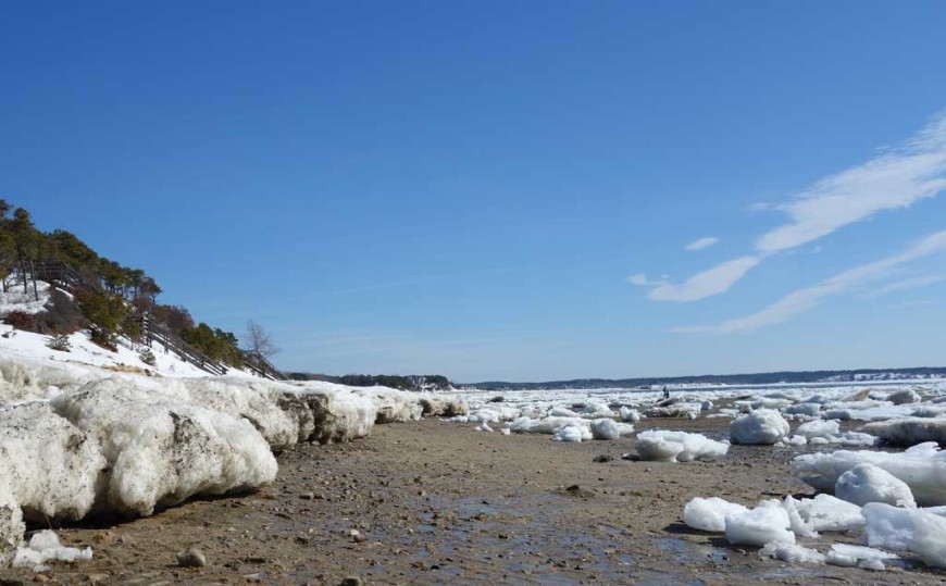
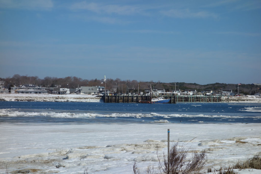
As everyone here knows, Wellfleet Harbor has been icebound for most the winter, but with the warmer weather of the last few weeks the ice has broken up and that means icebergs! Technically they are actually ice flows but we have to say that Wellfleet harbor was pretty glacial this winter. There was even an intrepid soul out on a paddleboard taking advantage of the open water! The best locations to see the icebergs in person were Mayo Beach or Chequessett Neck in Wellfleet, or Rock Harbor in Eastham & Orleans, or Provincetown Harbor. [Updated 3/24/15] It is now officially spring but the ice is still in here. Due to the wind pushing the ice to the south and the slightly warmer temperatures Wellfleet Harbor itself is now almost totally ice free. There are still very large chunks of ice in South Wellfleet, Lt. Island, Wellfleet Bay Audubon, Old Wharf are the best locations to see the ice as of now, we recommend Lt. Island Rd or the Audubon as they are the most accessible locations. To see the most recent pictures of the ice click here.
Ice & Water, Chequessett Neck, Wellfleet.
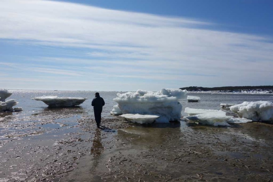
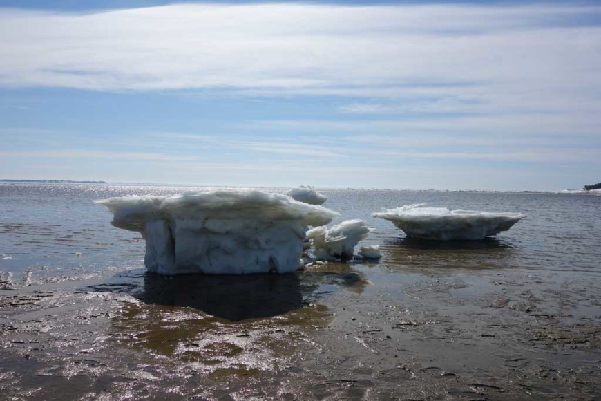
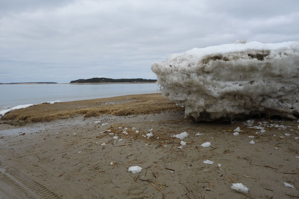
Some of the icebergs are about 5 feet high. Here a man approaches one of the chunks of ice to give it some perspective on its size. Chequessett Neck, Wellfleet.
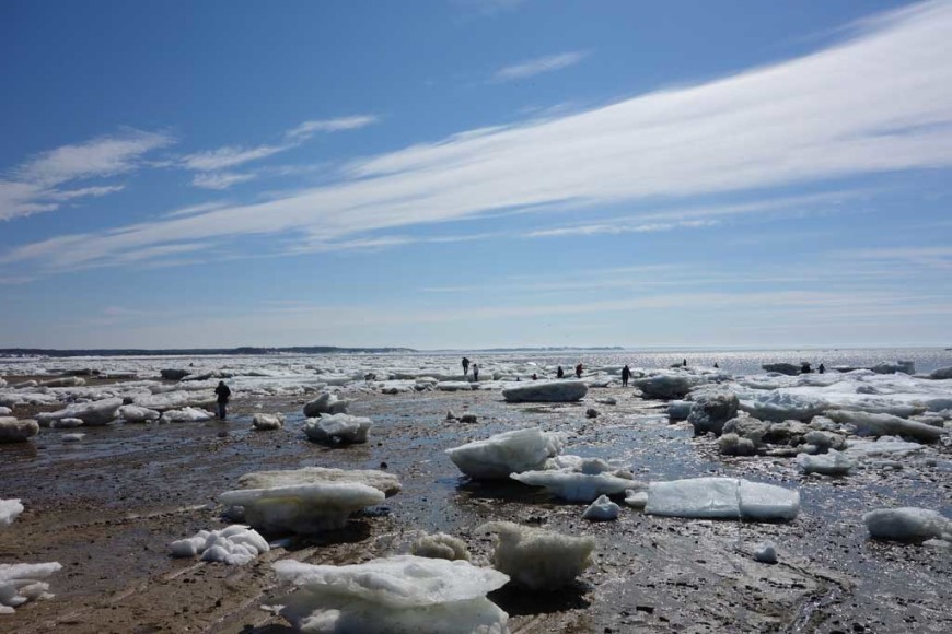
Chequessett Neck Iceberg spectators, Wellfleet.
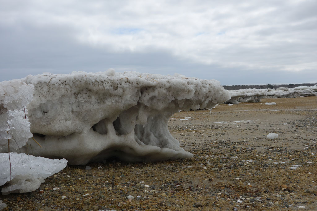
There is a shelf of ice lining the shore in front of the Chequessett Golf Course and Yacht Club. The shelf is about three to four feet high. If anyone goes there please make sure you pick a safe location to cross over it as a large portion is crumbling and can give way.
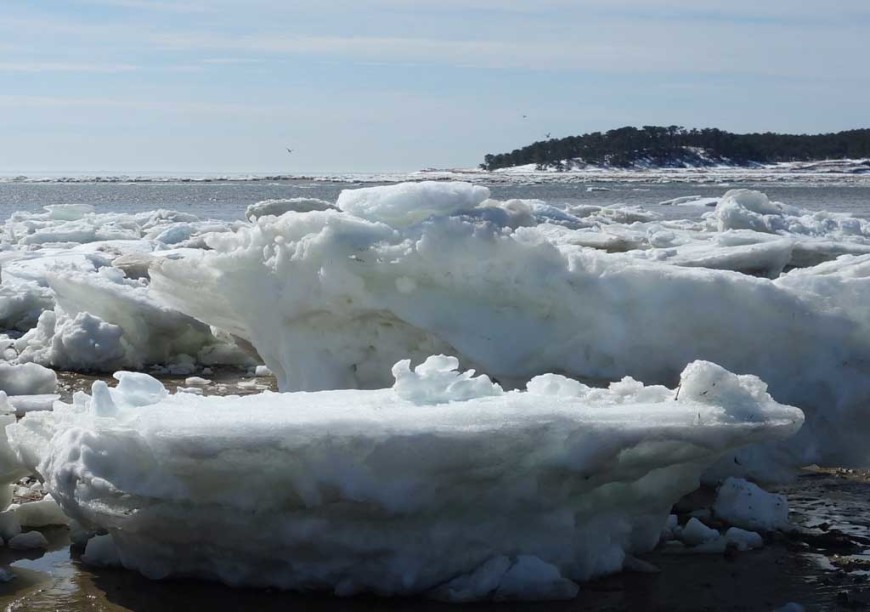
Chequessett Neck Iceberg, Wellfleet.
Chequessett Neck Iceberg, Wellfleet.
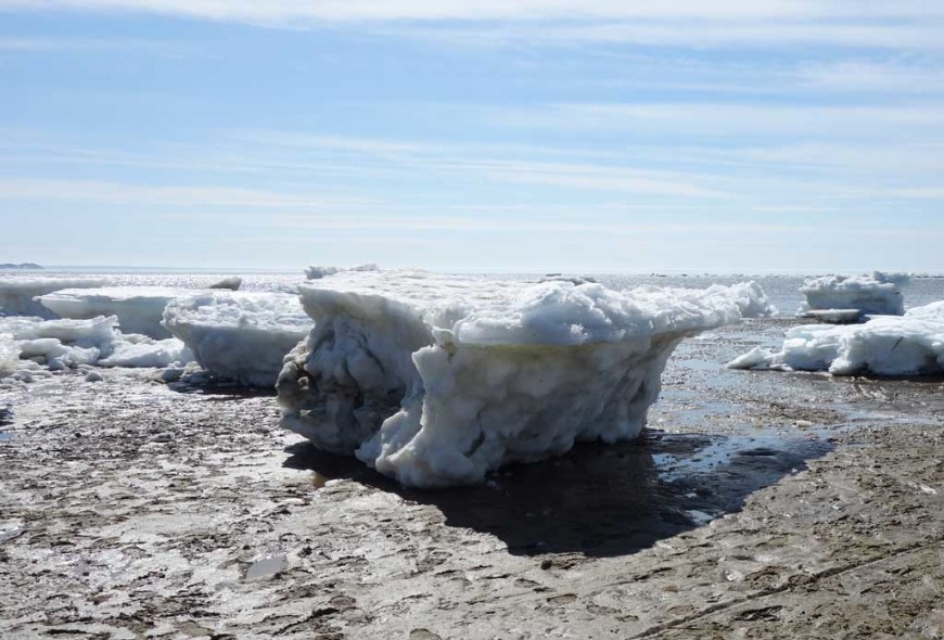
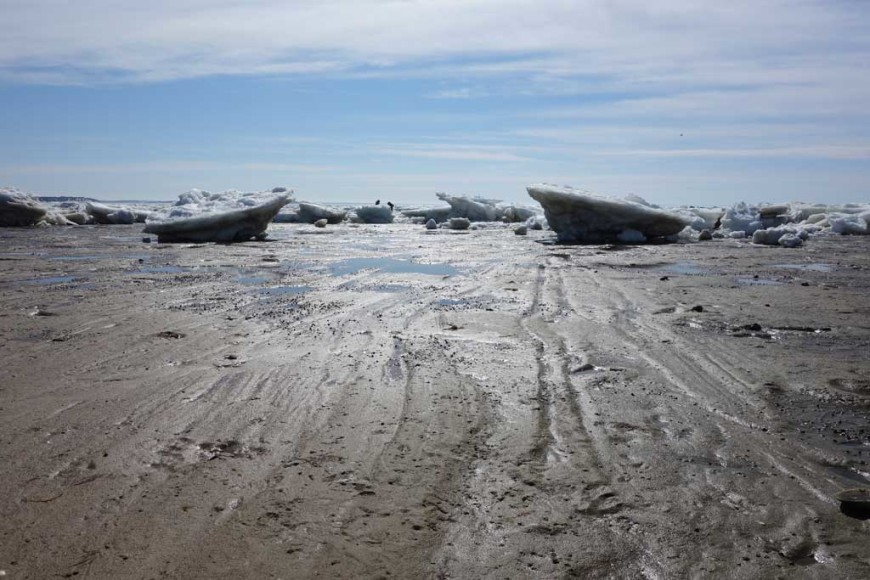
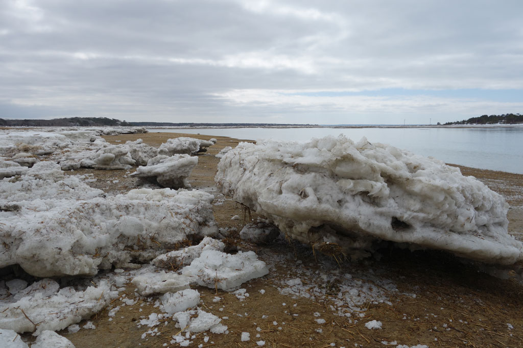
Chequessett Neck Ice-field, Wellfleet.
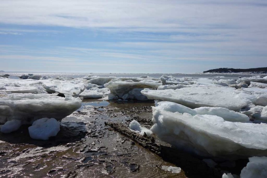
Chequessett Neck Icebergs, Wellfleet.
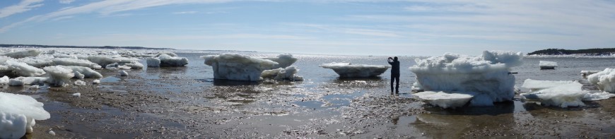
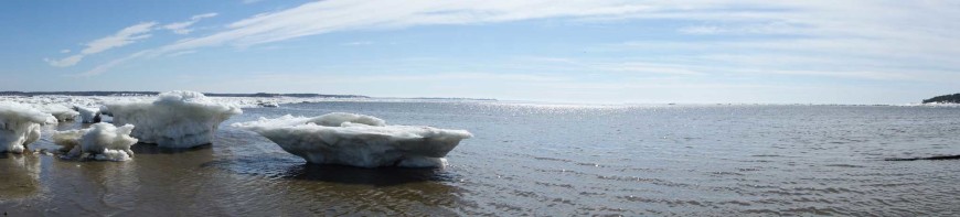
Chequessett Neck Icebergs panorama, Wellfleet.
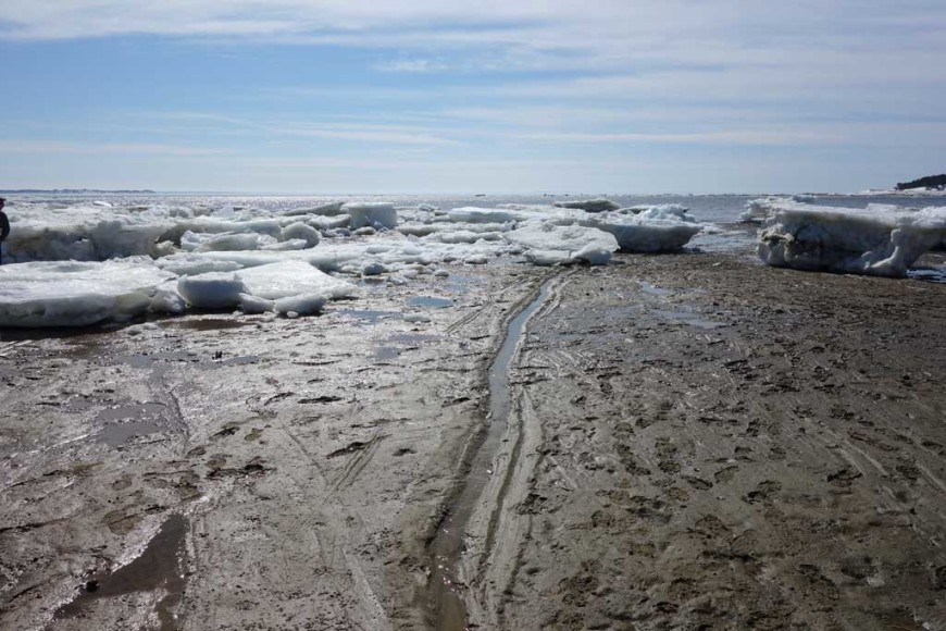
Many of the icebergs have furrowed trails behind them as they have been moved around by the water. Similar ice flows in the past have damaged shellfish beds as it can sweep the beds clean. Chequessett Neck, Wellfleet.
Iceberg Trails, Chequessett Neck, Wellfleet.
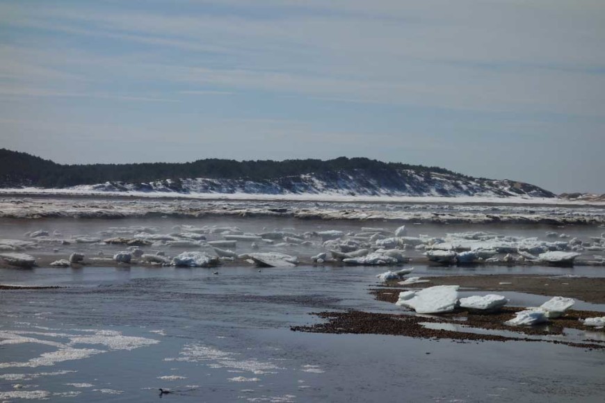
In some locations mist is rising from the ice because of the temperature difference between the air and the, Herring River, Wellfleet.

Herring River Ice Panorama. Notice that some of the ice is ringed by yellow brown, that is sand that the ice has scraped from the shoreline and moved. This is more noticeable in the ice at Herring River because of how wind conditions drove the ice past Great Island and Chequessett Neck’s sandy points and was penned in by the dike.
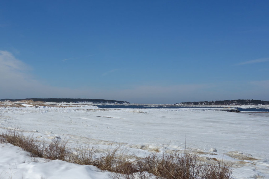
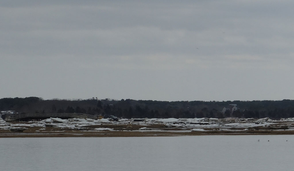
Indian Neck does not have the icebergs like those that line the beaches on the other side of the harbor instead the ice at Indian neck is mostly a smooth ice sheet close to the shore, and pack ice further out. Wellfleet Breakwater.
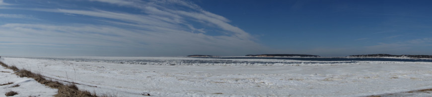
Panorama of Indian Neck’s Ice breaking up, looking out at Great Island. Wellfleet.
Wellfleet Harbor ice breaking up.
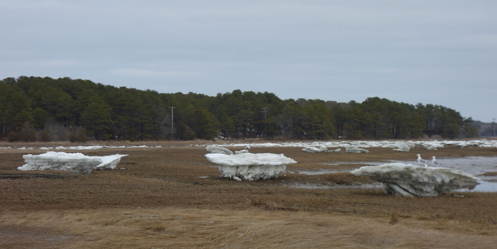
Spring Ice Flows in South Wellfleet
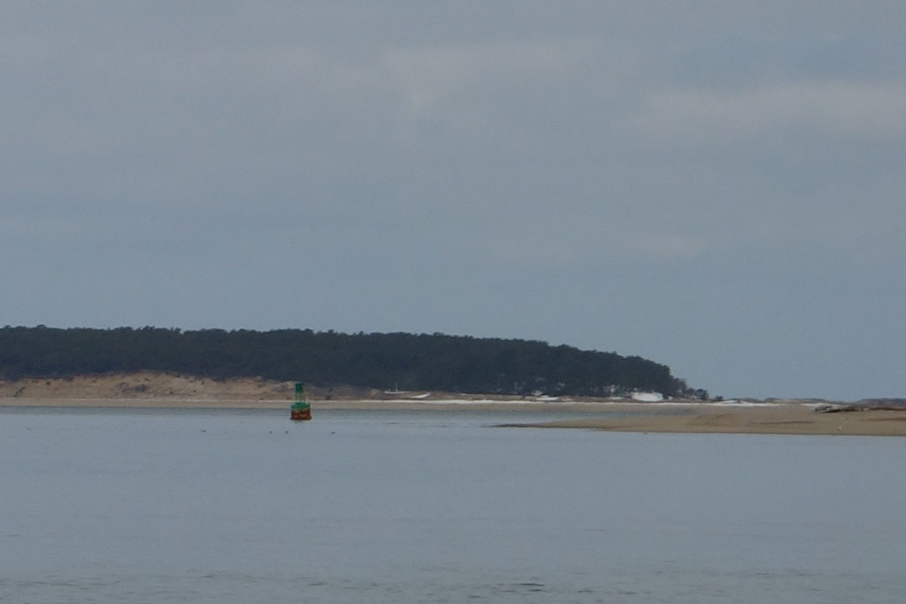
Ice flows are very powerful, here one of Wellfleet’s large channel markers, sits just off of Indian Neck. This was taken at about mid-tide and it is already resting on the bottom.
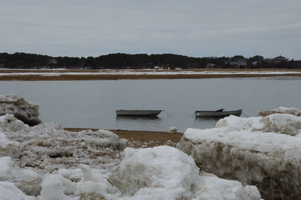
Ice & Skiffs, Wellfleet, Spring, 2015
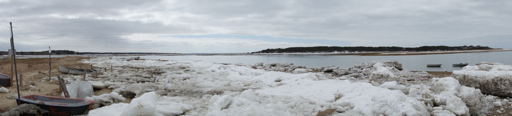
Ice flow panorama, Old Wharf, Wellfleet, Spring, 2015
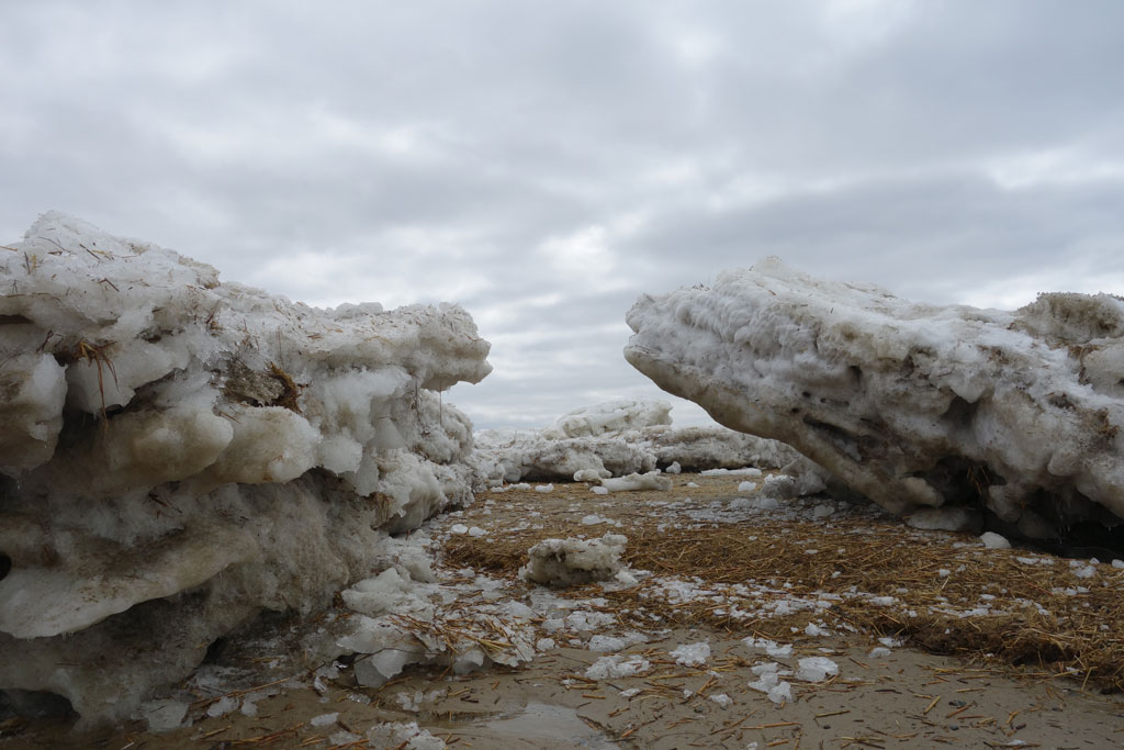
Ice Apex, Wellfleet, Spring, 2015
Ice, Logy Bay, Wellfleet, Spring, 2015
Shoreline Ice, Wellfleet, Spring, 2015
Ice & Cloudy Sky, Wellfleet, Spring, 2015.
A Suv drives along ice lined Lt. Island Rd, Wellfleet, Spring, 2015. The town of Wellfleet has to use front end loaders to clear this section of Lt. Island Rd after particularly high tides.
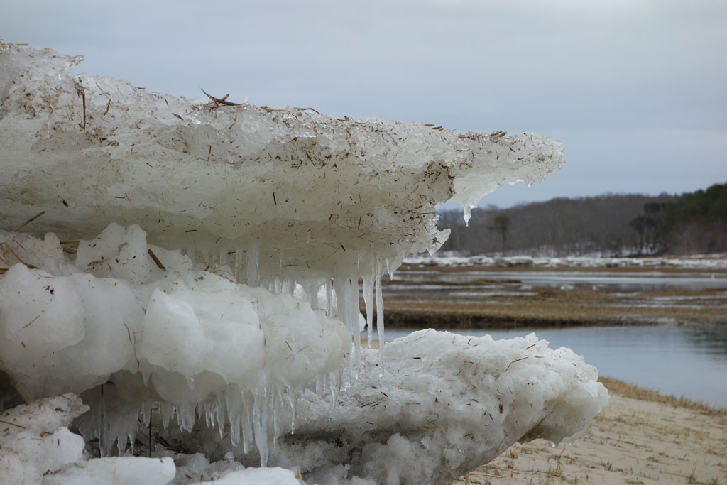
Iceberg icicles! Wellfleet, Spring, 2015.